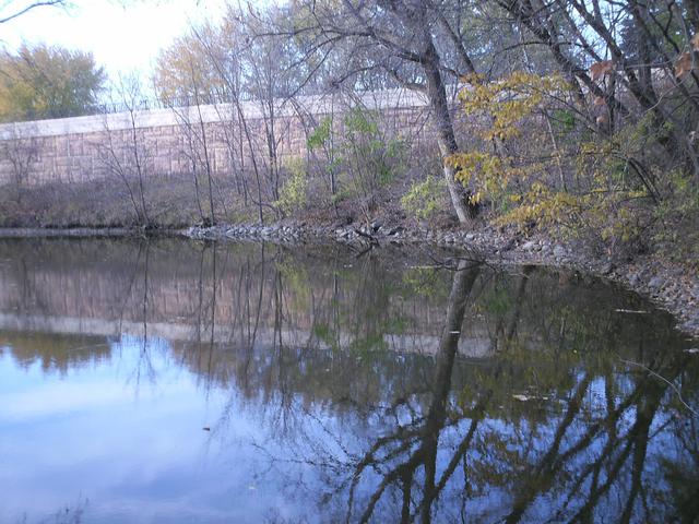
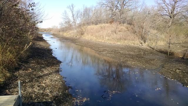
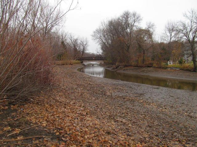
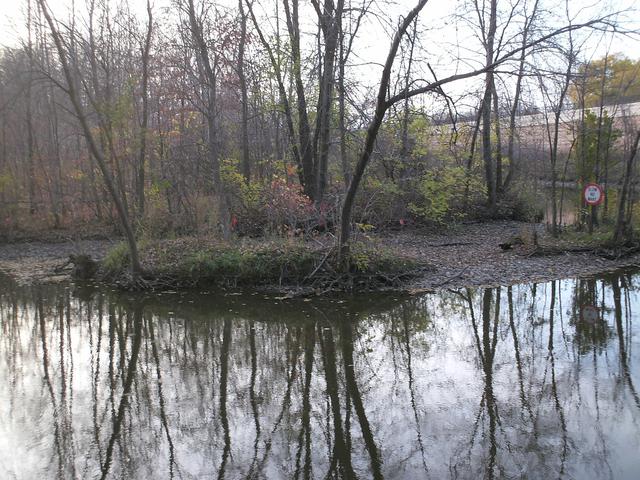
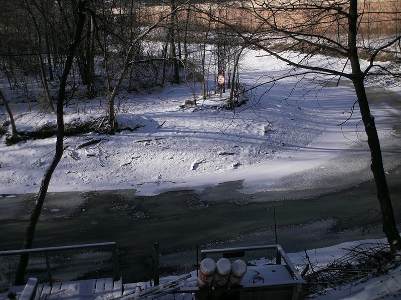
Elm Creek North (just south of County Road 30 bridge)
As of October 26
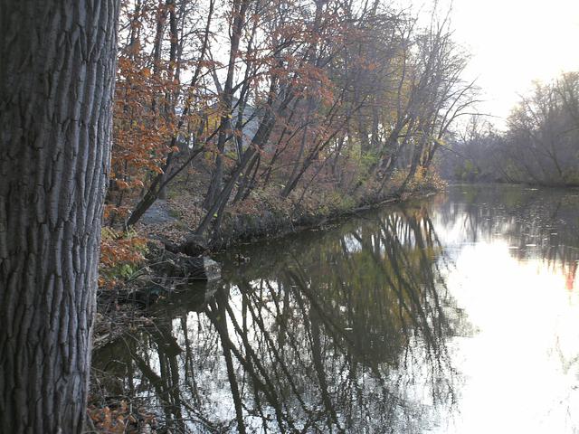
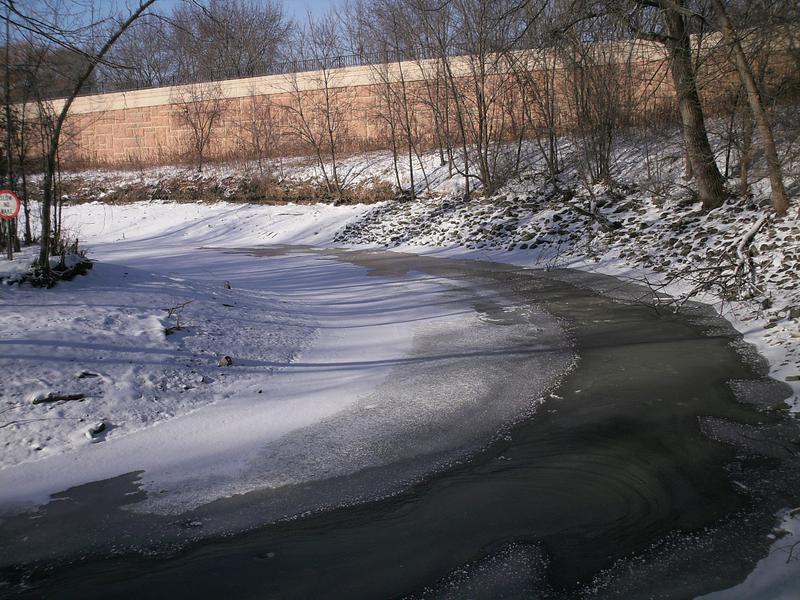
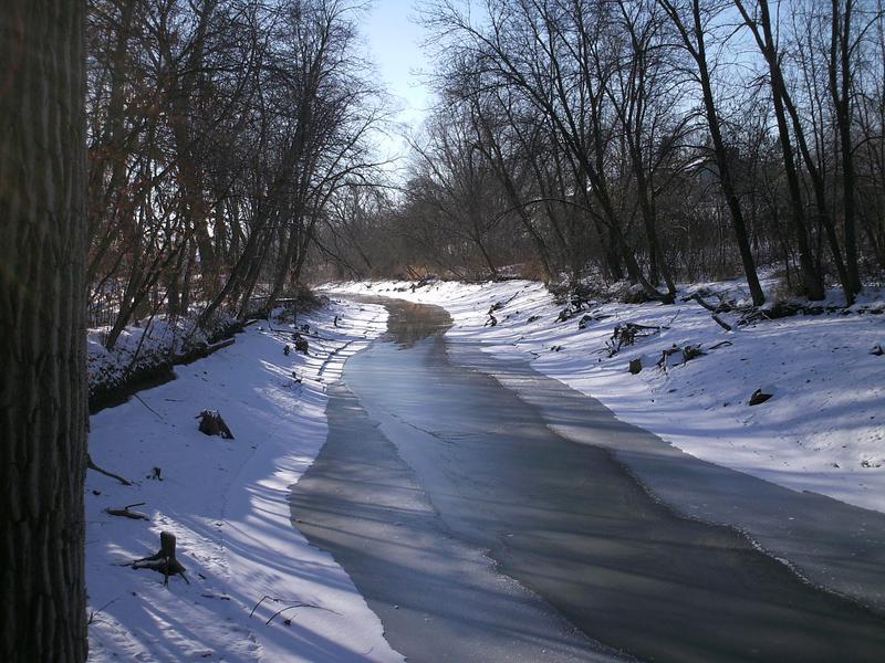
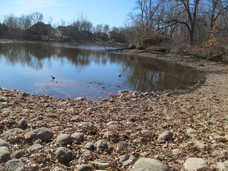
Elm Creek South (behind I-94 rest area)
As of November 2
As of November 4
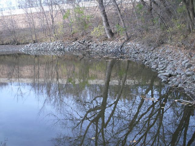
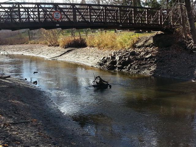
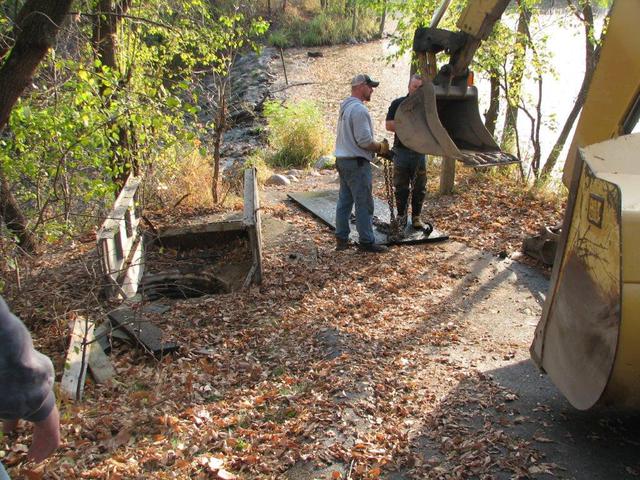
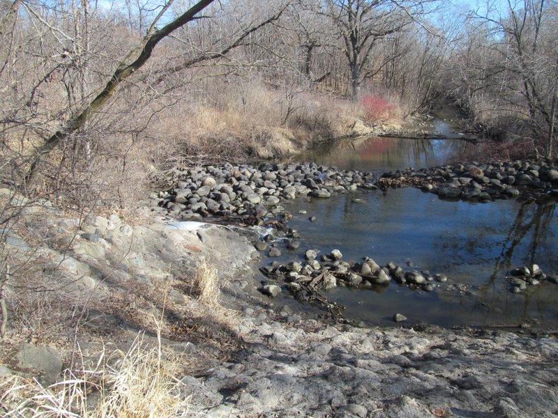
Boat Ramp Bay channel
As of November 1
As of November 3
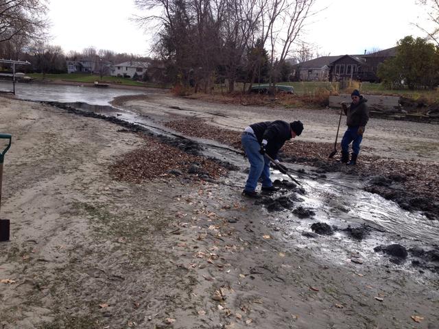
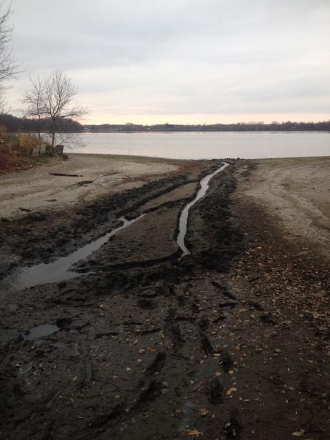
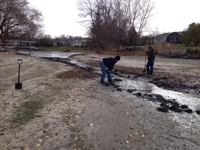
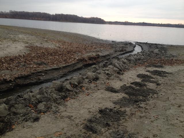
These photos demonstrate how shallow the channel is to the Boat Ramp Bay off 87th. Water is trapped in the bay and needs to be "trenched" out to the lake to facilitate the drawdown.
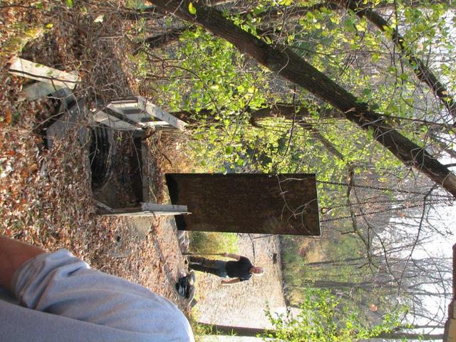
Elm Creek North (Exposed Tree Stumps by Arboretum footbridge)
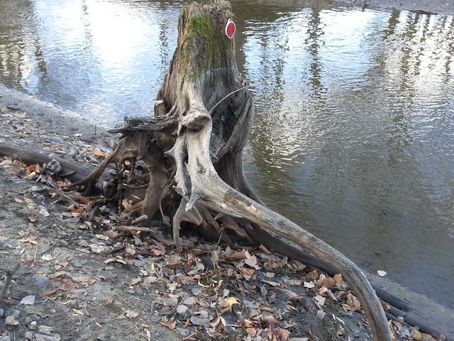
11/6 - Request submitted to the City of Maple Grove Public Works department to remove these stumps, which may create navigation hazards both during the boating months as well as the winter snowmobiling months.
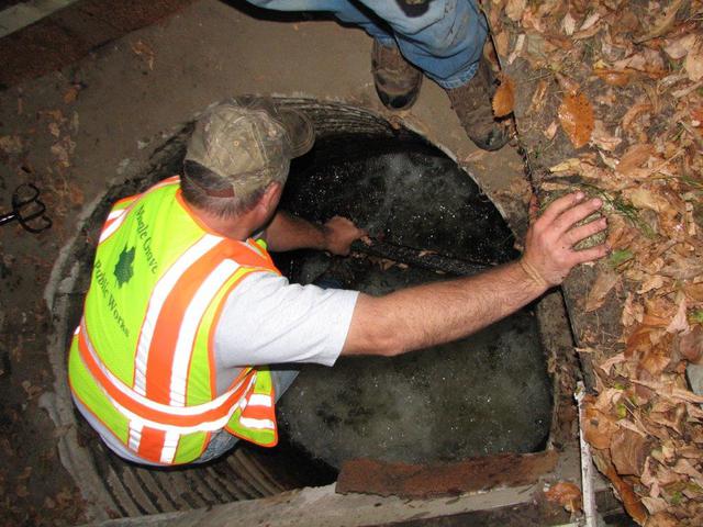
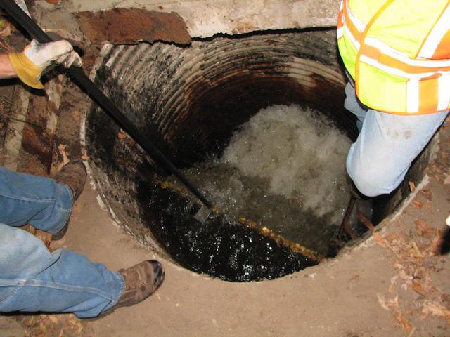
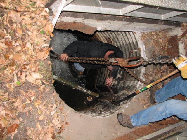
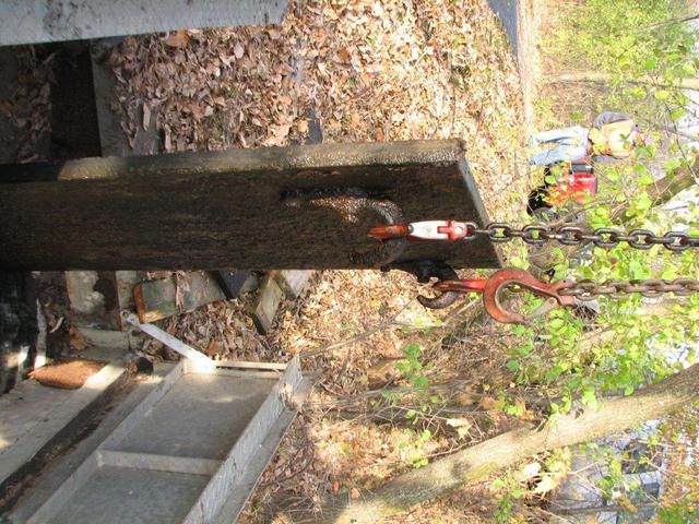
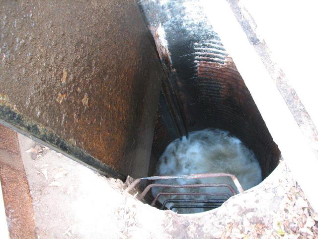
Dam Bypass configuration
10/24/2014 - Here are some photos of the Maple Grove Public Works crew removing the boards in the dam bypass which allow us to lower (draw down) the water level on Rice Lake/Elm Creek.
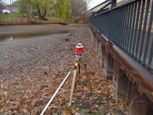
Drawdown measuring location (Elm Creek by Arboretum)
The official Rice Lake water level is measured based on sea level. The gauge for taking this measurement is on the northwest side of the County Road 30 bridge along the trail. This gauge will only measure down to relatively normal water levels, and an adjustment needs to be made to measure beyond that point (such as during a drawdown).
The device shown in the 1st photo below is used by the City of Maple Grove Water Resources engineer to capture these sea level readings beyond normal water levels.
The photo below on the right is looking north at the Arboretum foot bridge.
See the draw down comparison chart for water depths here: Drawdown depth graph
Number of visitors since November 7, 2014
2014-2015 Rice Lake Drawdown Photos
 | ||||||
| ||||||
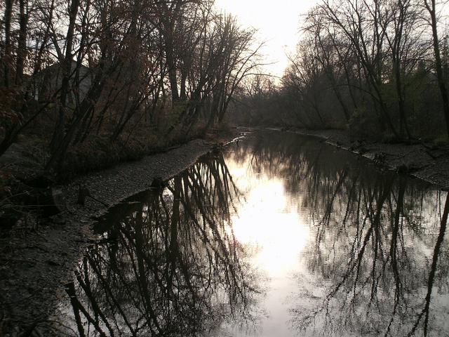
As of November 3
As of November 27
3/16/2015 - These tree stumps were moved by RLAA volunteers after City indicated they were not under their jurisdiction.
Dam Bypass normal flow (after boards/gate closed up)
The bypass at the dam was not completely closed back on March 16, so the City Public Works team revisited the dam on March 30 and found that debris had been caught in the dam gate/boards and was not working as expected. They cleared out that debris and the gate/boards are now in their normal position where most of the water is behind the dam so it can refill again.
Note: Based on the current watershed precipitation level, it may take up to 8 weeks for the lake to completely fill. However, this is only if the abnormally low precipitation levels continue through the spring, which is highly unlikely.
Downstream (below) dam side of bypass.
Upstream (above) dam side of bypass.