Chronology of 2020-2021 Rice Lake Winter Aeration project
November 20, 2020 - Winter Aeration signs posted along shoreline
In preparation for the winter aeration later this season, signs were posted at various entry points to the lake reminding everyone that winter aeration will be conducted on the lake which will mean there will be areas of open water present. Please use caution when venturing out onto the lake once winter aeration begins.
This page will track the activities related to the winter aeration of Rice Lake for the 2020-2021 season. Most recent activities are at the bottom of this page.
September 30, 2020 - Winter Aeration permit approved by MN DNR
The Minnesota DNR approved operation of the winter aeration system on Rice Lake for the 2020-2021 season. (Click here to view the permit)
September 29, 2020 - City of Maple Grove provides Certificate of Liability Insurance for system operation
November 5 & 12, 2020 - Winter Aeration public notice in Osseo-Maple Grove Press
Per Minnesota DNR requirements, a public notice must be run in the local newspaper prior to any operation of the winter aeration system on Rice Lake for the 2020-2021 season. (Click here to view the permit)
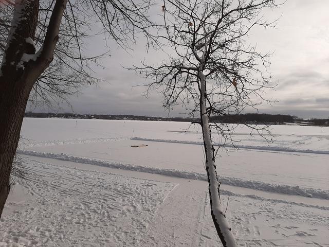
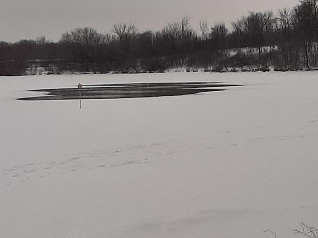
December 27, 2020 - Winter Aerator started up and Thin Ice signs posted
A volunteer crew of RLAA board members drilled some start-up holes and posted 15 Thin Ice signs around the anticipated perimeter for open water. Please use caution when in this area. The aeration unit will run on a 24/7 schedule until the ice breaks up in the spring. (Click here to view the aeration area map)
Day 1 (12/28/2020) photos
Looking SE from shoreline
Looking SW from shoreline
Looking to the East from West of all 6 diffuser locations
After almost 1 day of running, the aerator has opened up each of the 6 diffuser hole locations about 10' each in diameter.
Soon these individual openings will meld into a single large opening.
The ice depth in this location is about 9".
Note: A hockey rink has been groomed in the foreground.
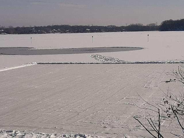
After 1 week the open water has expanded to an area of roughly 75' x 250'.
The hockey rink in the foreground of the topmost photos still exists and should be outside of the aeration area.
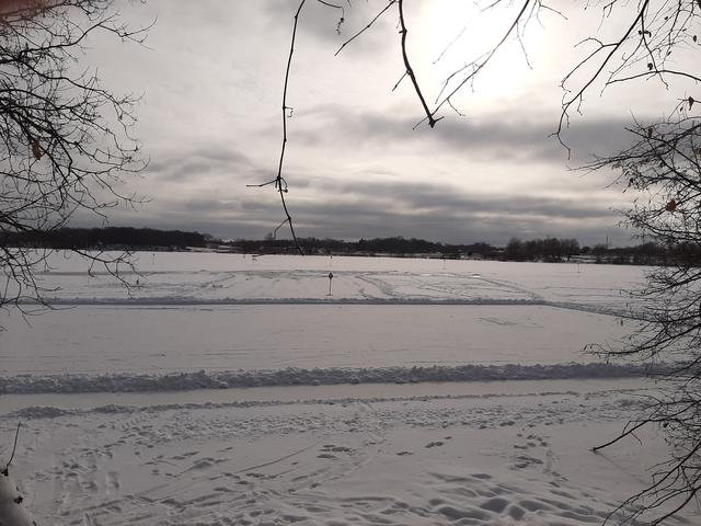
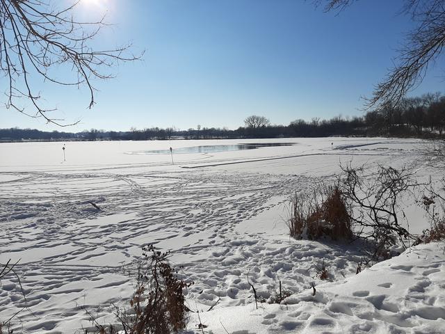
Day 17 (1/12/2021) photos
Looking NE from west edge of Thin Ice signs
Looking NW from west edge of Thin Ice signs
January 12, 2021 - Thin Ice signs tied off with line for easier recapturing in spring
A volunteer crew of RLAA board members tied off most of the 15 Thin Ice signs with kite string so they could be more easily recovered in the spring when the ice goes out. (Last year they were not tied off and many of the signs were not recovered).
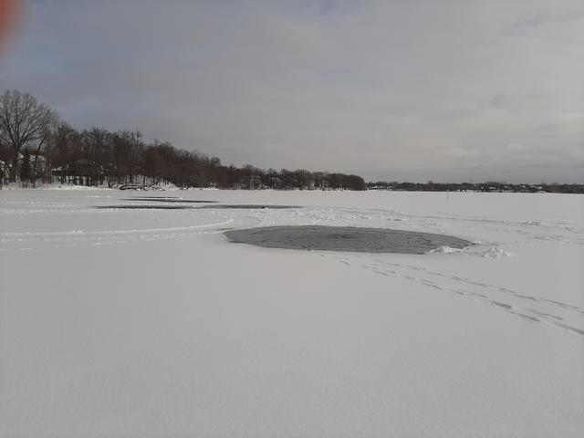
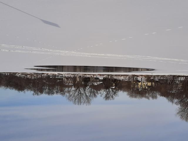
February 18, 2021 - Open water expanding again
During the latest cold snap, the area of open water was shrunk down to almost nothing. Over the past couple of days it is almost back to the maximum area earlier this winter.
February 18, 2021
Looking SW from eastern shoreline
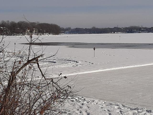
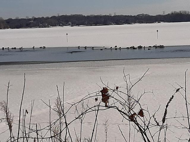
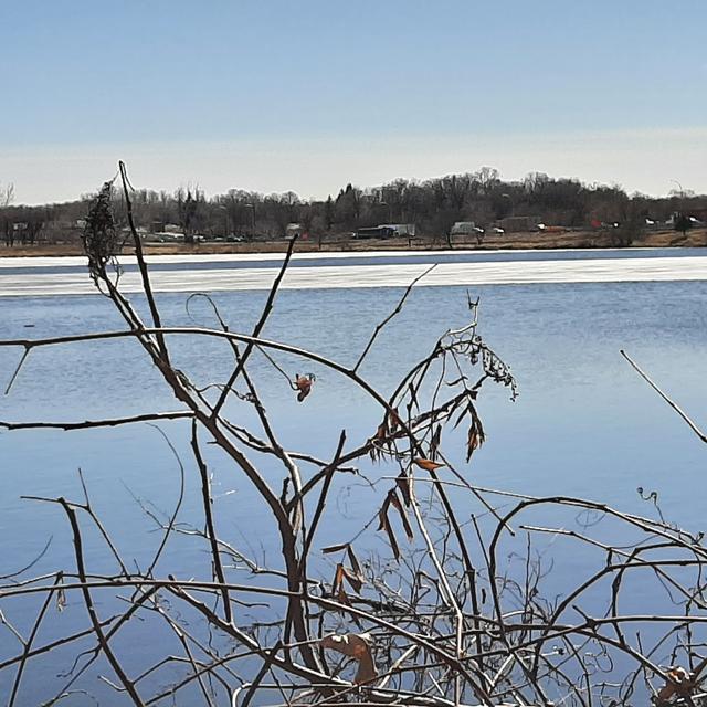
February 27, 2021
Waterfowl, including swans, are present today.
Looking East from western shoreline
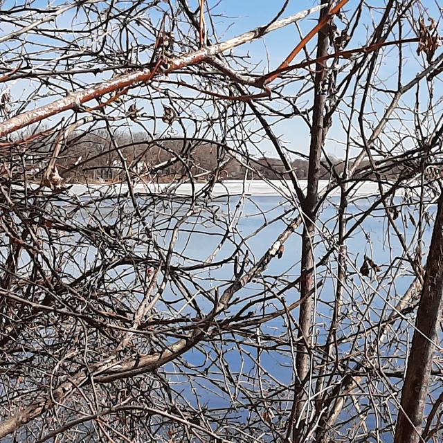
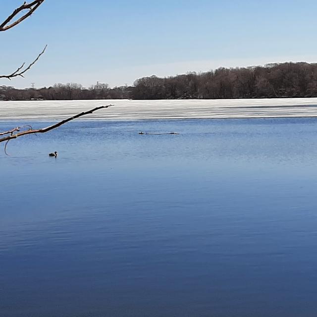
March 5, 2021
Looking East from western shoreline
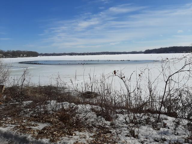
March 11, 2021
Looking West from eastern shoreline as area is expanding rapidly with recent warmth. Open area estimated to be roughly 300' x 1200'.
March 18, 2021 - Areation turned off for the season
The aerator was turned off today with hopes that we will not have any more ice this season. It had been running non-stop since December 27, 2020. If you see any Thin Ice signs drifting around and can grab them for us, please let us know at ricelakeassoc@comcast.net.
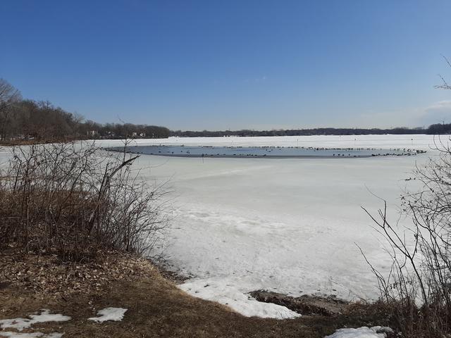
March 18, 2021
Looking East from the northern shoreline once aerator was turned off. Open area estimated to be roughly 400' x 2000'.